Transportation and Building before 1800
Transportation systems, especially roads and freeways, are among the most visible aspects of the built environment today. Oregon’s transportation system in the early nineteenth century consisted of natural waterways and the paths and trails blazed first by Native Americans. Indian canoes plied the Columbia and Willamette rivers and their tributaries, as well as portions of many coastal and inland rivers such as the Umpqua. Beyond the navigable rivers, transportation was on foot, and networks of trails paralleled the Oregon Coast, crossed the Siskiyou and Blue mountains, and threaded the Cascade Range. Horses came to the Indians of the northeastern Plateau region, such as the Nez Perce, early in the eighteenth century, the descendants of animals first brought to North America by the Spanish. It was many decades, however, before horses became common among the Indians west of the Cascade Range.
Travel by canoe, by foot, and on horseback did not demand major construction. Canoes had no special landing needs, while travel by foot and horse led only to modest structures to house and feed animals and travelers and to ferries at major river crossings. The principal north-south travel routes that developed early in the nineteenth century between Fort Vancouver and the upper end of the Willamette River Valley, en route to California points, followed Indian trails. The trails avoided the damp lowlands and skirted the foothills on both the west and east sides of the valley, where it was easier to ford such tributaries as the Molalla, Santiam, and Marys rivers.
Prior to the extensive inroads of traders and explorers from Britain, Spain, and Russia, and before the later influx of settlers from eastern North America, present-day Oregon was inhabited by perhaps fifty thousand or more people. They spoke a variety of languages, many of them related to one another but separated into major language groups—Sahaptin, Salishan, Athapaskan, Chinookan, Uto-Aztecan—and a number of smaller language groups, such as Coosan and Takelman. Within these language groups were bands or tribes that were affiliated by marriage and family ties.
There were linguistic differences between groups, as well as differences dictated by natural resources and geography. We can sketch three disparate cultural areas. The Pacific Coast region has a moderate marine climate, abundant food sources and thick forests. The Great Basin, which encompasses the southeastern quadrant of today’s Oregon, is arid but dotted with perennial lakes and marshlands. The Mountain and Plateau area includes the Columbia River Gorge and Plateau, the Blue Mountains and northeastern Oregon, the Cascade Range, and the Klamath Basin, and is characterized by a fairly dry climate, pine forests, and a rugged topography. In each of these three areas, food, shelter, and transportation had distinctive characteristics, and the built environment of the people of each region reflected those distinctions.
© Richard H. Engeman, 2005. Updated by OHP staff, 2014.
Sections
Native Ways and Explorers' Views before 1800
Euro-American Adaptation and Importation
Sawn Lumber and Greek Temples, 1850-1870
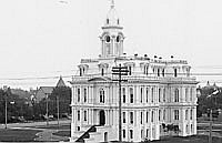
Architectural Fashions and Industrial Pragmatism, 1865-1900
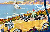
Revival Styles and Highway Alignment, 1890-1940
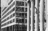
International, Northwest, and Cryptic Styles
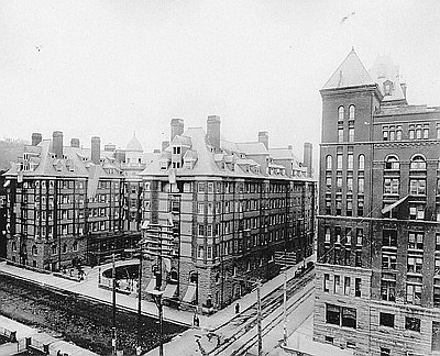
Glossary
Built Environment Bibliography
Related Historical Records
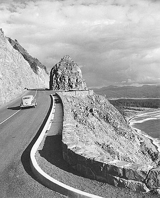
Highway 101, Neahkahnie Mountain
Following the route of an ancient Indian trail that linked the Clatsop and Tillamook people, Highway 101 was opened over the treacherous headland of Neahkahnie Mountain in 1940. …
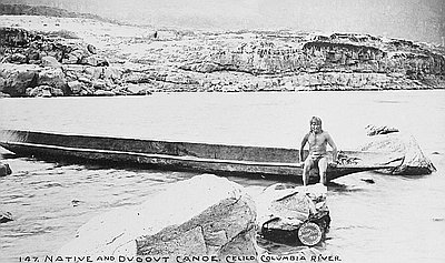
Chinookan Canoes
This photograph, taken by The Dalles photographer Benjamin Gifford in 1897, shows an Indian man, possibly Wasco or Wishram, sitting in a dugout canoe in the vicinity of …
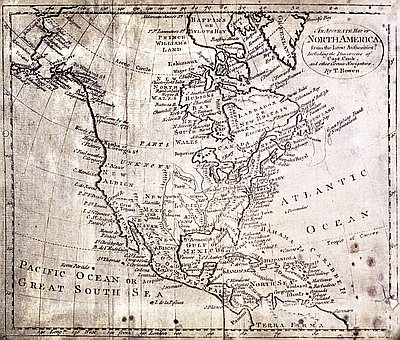
An Accurate Map of North America, c. 1780
Thomas Bowen, a British cartographer and engraver, produced his An Accurate Map of North America from the Latest Authorities in the early 1780s. It is an updated version of …
