An Inhabited Land
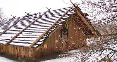
Cathlapotle, modern plankhouse
In the Columbia River Gorge, the captainshad taken particular notice that the tule-mat lodges of the Plateau peoples had given way to substantial plankhouses at Nixluidix, the major village of the group they called Echeloot, later known as the Wishxam. The plankhouses signaled larger living groups, more reliance on salmon, and more participation in trade. The Corps had entered one of the most densely populated regions in indigenous North America. River villages grew substantially during the salmon runs, which churned upriver between March and October, and at shallow-water locations on tributaries where eulachon (smelt) thronged in late winter. Lewis and Clark drifted by villages on the lower Columbia after the major salmon runs were over, but the permanent populations still topped any concentration of Indians they had encountered on their journey.
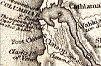
They also noticed calamity among the peoples of the Columbia. Disease had struck the lower river and coastal populations a full generation before Lewis and Clark paddled down the river. Beginning in the 1770s, maritime traders brought smallpox to the Pacific Coast communities, and the disease spread up inland rivers with devastating speed and consequence. Many villages had declined in population, and the captains saw physical evidence in pox scars on Indian faces and hands. In February 1806, after the Corps had established winter quarters at Fort Clatsop, Lewis estimated the effects of smallpox on the lower Columbia:
The small pox has distroyed a great number of the natives in this quarter. it prevailed about 4 years since among the Clatsops and distroy several hundred of them, four of their chief fell victyms to it’s ravages. those Clatsops are deposited in their canoes on the bay a few miles below us. I think the late ravages of the small pox may well account for the number of remains of vilages which we find deserted on the river and Sea coast in this quarter.
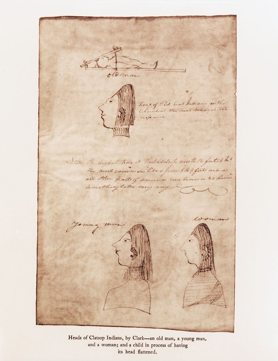
Nonetheless, the Corps encountered many populated villages downriver from the Gorge, where they noted European trade items, the prevalence of wapato-root bread in their diets, and the practice of head-flattening. After camping near the tributary they called Quicksand River (Sandy River), they entered the stretch of river that Lt. William Broughton had mapped for George Vancouver in 1792. Mindful of their duty to record this territory in detail for Jefferson, the captains entered more descriptions of ecology and Native culture on the lower Columbia than in any other section of their journey.
© William L. Lang, 2004. Updated and revised by OHP staff, 2014.
Sections
Related Historical Records
Captain Meriwether Lewis
This copy of an 1807 oil painting by Charles Willson Peale depicts the famed explorer Meriwether Lewis. Lewis is best known for his leadership of the Corps of …
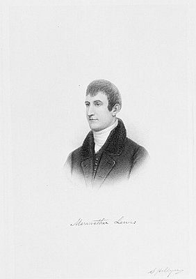
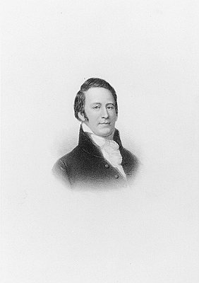
Captain William Clark (1770-1838)
William Clark was born on August 1, 1770, near Charlottesville, Virginia, the sixth son of plantation owners John and Ann Rogers Clark. After the Revolutionary War, the …
