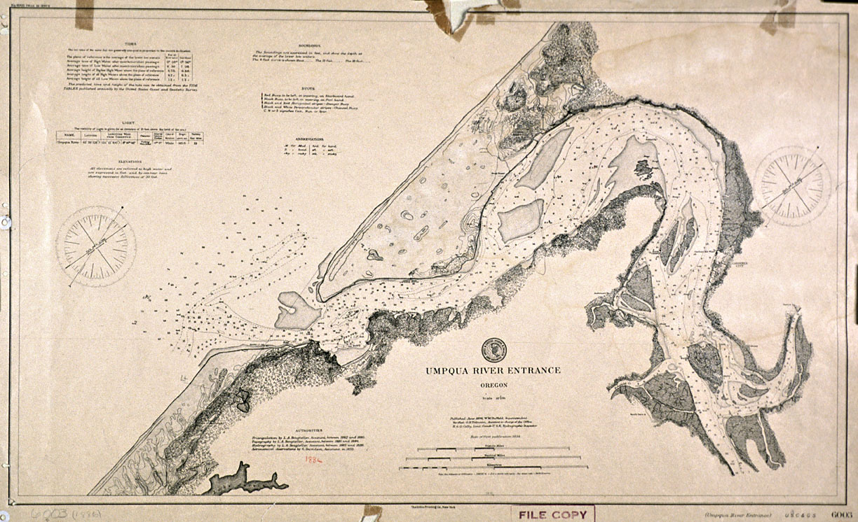
This chart of the Umpqua River entrance was made by the U.S. Coast and Geodetic Survey in 1896. It is one of several dozen U.S. Coast and Geodetic Survey charts in the collections of the Oregon Historical Society.
The U.S. Coast and Geodetic Survey was the nation’s first major scientific agency. It was established in 1807, when, at the urging of President Thomas Jefferson, Congress passed an act authorizing the formation of an executive agency that would take charge of mapping the nation’s coastline. Jefferson was president of the American Philosophical Association, the foremost scientific organization in the United States. He and other members of the association hoped that an agency devoted to surveying the coast would help advance both American science and American commerce.
In the late eighteenth century and early nineteenth century the nation’s economy was heavily reliant on ocean and coastal shipping, and Jefferson believed that detailed charts would help to reduce travel time and to avoid costly shipwrecks. The Coastal Survey also had an important military role to play, as it would aid in planning and implementing the defense of the American coast against the British and French. Historian Hugh Slotten notes that “undertaking a coastal survey using the most up-to-date scientific methods and techniques thus fulfilled the Jeffersonian ideal of science supporting utilitarian and nationalistic ends.”
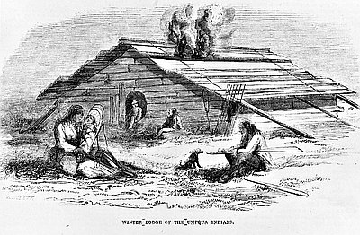
By the late 1840s, the U.S. Coast Survey had become the nation’s leading scientific agency. The Coast Survey began surveying the Pacific Coast in 1849, mapping water hazards, prominent headlands, bays, and estuaries, and identifying potential sites for lighthouses. They surveyed the Umpqua River in the early 1850s, publishing the chart in 1854. Oregon’s first lighthouse was built at the entrance to the Umpqua River in 1857 to aid navigation, but it collapsed several years later after its foundation was compromised during a storm. The lighthouse currently at the mouth of the Umpqua was built in 1894.
The Coast Survey was renamed the U.S. Coast and Geodetic Survey in 1878. In 1970 the name was changed to the National Geodetic Survey and it was transferred from the Treasury Department to the National Oceanic and Atmospheric Administration under the Department of Commerce. In addition to mapping the nation’s coastline, the National Geodetic Survey defines and manages a national coordinate system and develops federal standards for geodetic surveys.
Further Reading:
King, William F. “George Davidson and the Marine Survey in the Pacific Northwest.” Western Historical Quarterly 10, 1979: 284-301.
Slotten, Hugh Richard. Patronage, Practice, and the Culture of American Science: Alexander Dallas Bache and the U.S. Coast Survey. New York, N.Y., 1994.
Theberge, Albert E. The Coast Survey, 1807-1867. National Oceanic and Atmospheric Administration.
Written by Cain Allen, © Oregon Historical Society, 2006.