- Catalog No. —
- OHS Map 531
- Date —
- 1911
- Era —
- 1881-1920 (Industrialization and Progressive Reform)
- Themes —
- Environment and Natural Resources, Trade, Business, Industry, and the Economy, Transportation and Communication
- Credits —
- Oregon Historical Society
- Regions —
- Southwest
- Author —
- Gibson Catlett
The Famous Rogue River Valley
Landscape artist Gibson Catlett created this bird’s-eye view map of Grants Pass in 1911 for a railroad development company that was also selling land in a proposed town extension. Bird’s-eye views, popular in the U.S. between 1860 and 1920, often showed detailed images of towns from an aerial perspective.
In the early 20th century, business leaders and members of the Grants Pass Commercial Club were optimistic about the city’s potential for economic growth. In 1911, Portland realtor H.L. Chapin gained the support of local community boosters and established the Grants Pass and Rogue River Railroad company to start building a railroad to Crescent City on the California coast. Local investors hoped their efforts would attract a larger railroad company that would complete the project. Chapin and associates also advertised land for sale in “South Grants Pass,” a proposed development across the Rogue River. While workers did extend the railroad across the river, construction stalled and the land development failed after Southern Pacific Railroad officials declined to take over the railroad.
Town residents soon renewed efforts to build the railroad, known as the California and Oregon Coast Railroad (C & OCRR), and completed ten miles of tracks to Wilderville in 1914. In 1915, the Twohy Brothers, a Portland company associated with railroad magnate James J.Hill, bought the C & OCRR and quickly built four-and-a-half miles of tracks to Waters Creek. However, in 1917, when the United States entered World War I, the Twohy brothers took on war-related construction projects and never completed the C & OCRR railroad.
Written by Kathy Tucker, © Oregon Historical Society, 2002.
Related Historical Records
-
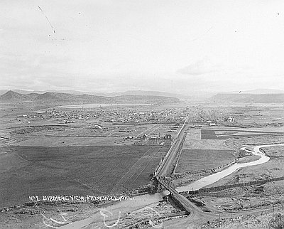
Bird’s-eye View of Prineville, c. 1915
This bird’s-eye view of Prineville, Oregon was taken by Charles Wesley Andrews (1875–1950) around 1915. The photograph looks east down Main Street. Ochoco Creek is visible passing through …

-
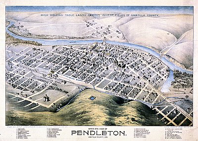
Bird's-Eye View of Pendleton
This bird’s-eye view, published by the East Oregonian Publishing Company, shows the town of Pendleton around 1890. Bird’s eye views, also known as panoramic maps, were popular ways …

-
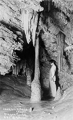
Joaquin Miller's Chapel, Oregon Caves
The Oregon Caves are a large system of caverns located high in the Siskiyou Mountains of southwestern Oregon. The complex consists of at least eleven caves which have …

