- Catalog No. —
- OHS Map 235
- Date —
- 1864
- Era —
- 1846-1880 (Treaties, Civil War, and Immigration)
- Themes —
- Environment and Natural Resources, Oregon Trail and Resettlement, Trade, Business, Industry, and the Economy
- Credits —
- Oregon Historical Society
- Regions —
- Northeast Oregon Country
- Author —
- George Woodman
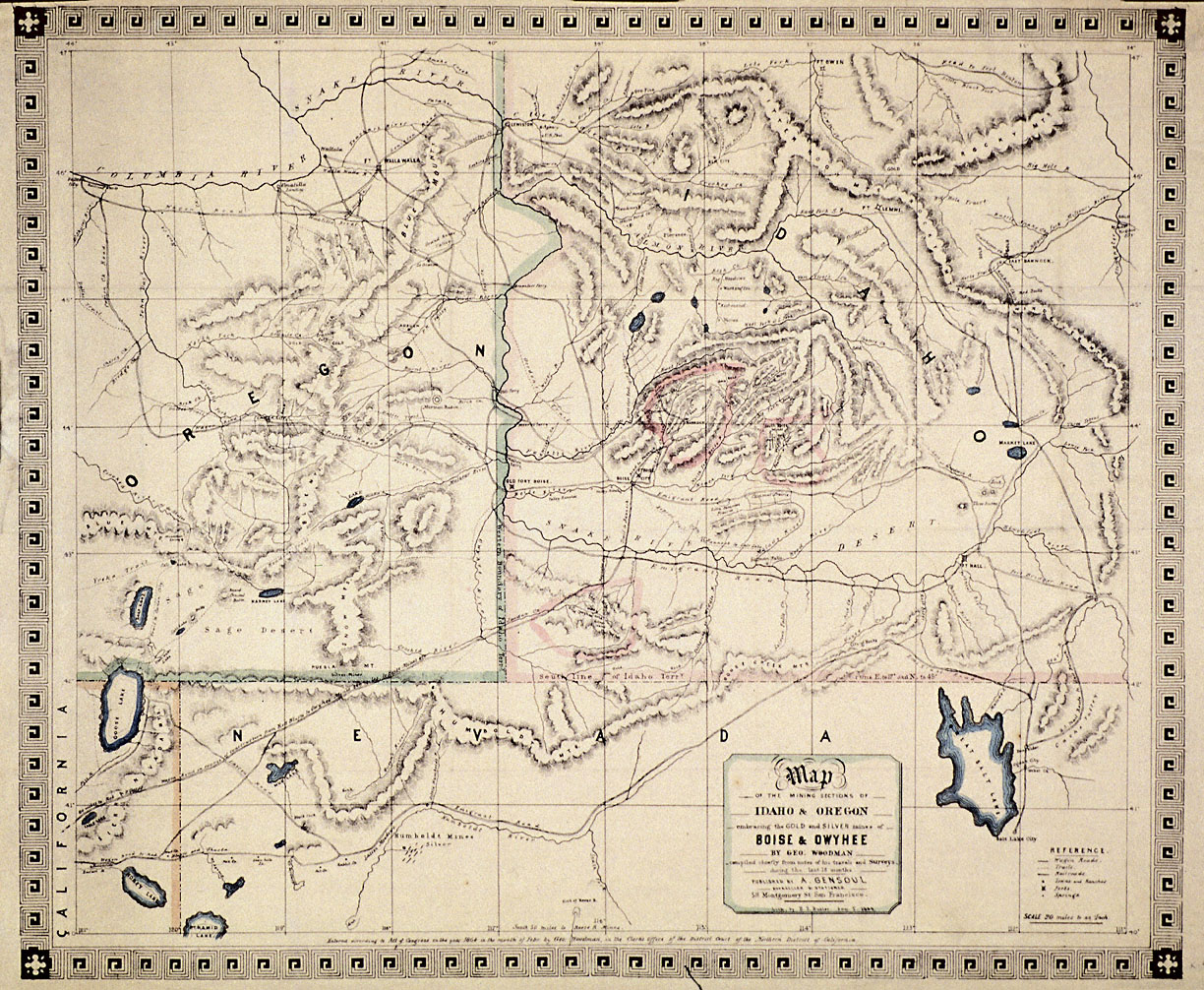
Mining Sections of Idaho and Oregon, 1864
This 1864 map of the mining sections of Idaho and eastern Oregon was drawn by George Woodman and published by San Francisco bookseller Adrien Gensoul. The map was based in part on Woodman’s own travels and surveys in the early 1860s. Prospectors would have carried maps like this one in their search for “color,” that is, the gleam of gold.
The first confirmed gold strike in Oregon came in the winter of 1851-1852, when two packers found nuggets in a tributary of southern Oregon’s Rogue River. More deposits were discovered that decade in the black sands of the South Coast, on the western slopes of the Cascades, and along the John Day River, as well as in northeastern Washington and southern British Columbia.
Eastern Oregon and what would later become the state of Idaho became the focus of increasing prospecting activity after the conclusion of the Indian wars in the late 1850s. Gold was found along the Clearwater River in 1860, in Oregon’s Auburn district and along the Salmon River in 1861, in the Boise Basin in 1862, and in the Owyhee Mountains in 1863. By the summer of 1863, there were more than 35,000 non-Indians in the interior searching for their fortunes.
The gold and silver rushes of the 1860s played a key role in the development of the inland Northwest. Idaho Territory, for example, was carved out of Washington Territory in 1863 in response to the rapid rise in the interior’s population. The boundaries of the newly formed territory encompassed a massive area, including large portions of present-day Montana and Wyoming. The federal government redrew the ungainly territory’s boundaries in 1864 and again in 1868, reducing Idaho to its present size.
By the time this map was published in 1864, the focus of mining activity in the region had shifted from Oregon’s Auburn district and Idaho’s Clearwater district to the Boise Basin and Owyhee Mountains, circled in red. This shift in mining activity also led to a relocation of Idaho’s capital from Lewiston to Boise.
Further Reading:
Bright, Verne. “Blue Mountain Eldorados: Auburn, 1861.” Oregon Historical Quarterly 62, 1961: 213-236.
Schwantes, Carlos. The Pacific Northwest: An Interpretive History. Lincoln, Neb.: 1989.
Written by Cain Allen, © Oregon Historical Society, 2005.
Related Historical Records
-
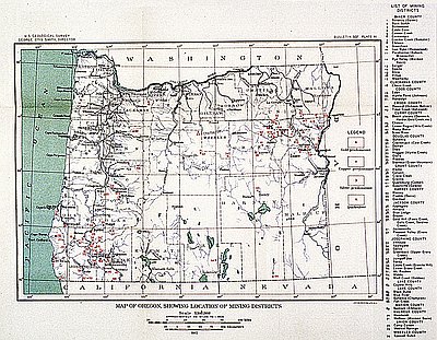
Oregon Mining Districts
The U.S. Geological Survey (USGS) made this 1912 map. Between 1907 and 1930, George Otis Smith was the director of the USGS, an agency created in 1879 to …
-
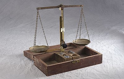
Gold Scales
There is some disagreement among historians as to exactly when and where gold was first discovered in southwestern Oregon, although many credit James Cluggage and Jim Poole, a …
-
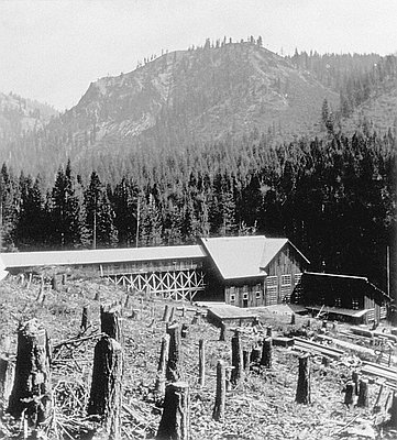
Gold Mine at Cornucopia, c. 1888
The photograph, probably taken by Martin M. Hazeltine of Baker City in the late 1880s, shows a stamp mill used to process gold-bearing ore near Cornucopia. The gold …